 |
The voyage map is tracing our journey from the Atlantic to the Pacific Oceans via the Bering Strait - the
whole purpose of the Northwest Passage explorations. |
What an amazing day! Before dawn Captain Artem set a course south out of the Chukchi Sea (Arctic Ocean) through the Bering Strait into the Bering Sea (Pacific Ocean). We had completed the Northwest Passage hooray! but we’re still on board with a day to go. I'd like to start the whole voyage again ….. Sunrise was at 8:45 am so over breakfast we watched a chilly blue dawn struggle to claw its way over the horizon. And then we turned our heads and looming up on the other side of the ship was Little Diomede Island.
Russian explorer Vitus Bering sighted the Diomedes Islands off the coast of Alaska on 16 August 1728, the day the Russian Orthodox Church celebrates the memory of Saint Diomedes - hence the name.
 |
| The cormorants came swooping around the ship peering down at us |
It was a day of ‘doubles’. We sailed between two islands, two continents, two seas and oceans, two calendar days, two countries. The Diomedes is two islands - the Russian one Big Diomede on the west or 'Tomorrow Island' and the US one, Little Diomede or ‘Yesterday Island’, on the east - separated by just 4km (depending where they measure from). Between them runs the International Date line - tomorrow on the west and today on the east. We sailed between them! During winter, an ice-bridge usually spans the distance between the two islands. So it is theoretically possible to travel between the two islands but it is forbidden.
A word of warning - there is going to be loads of photos here as understandably it was quite an exciting day sailing into the Pacific Ocean between two continents etc etc
 |
| Lindsay stretching into tomorrow! |
 |
| Little Diomede Island, US territory |
The village on Little Diomedes when counted in 2021 had a population of 82. The Green buildings are the school and recreation centre. They reckon there are only about 4 students at the school.
The forecast was for 7C so after 3 weeks of 'layering' I didn’t put thermals on. Big mistake because we spent a good part of the day out on deck. The chilling I got and the slightly scratchy throat the next morning was worth it however as the Strait’s islands we sailed to and around were breathtakingly beautiful - great granite monoliths thrusting up out of the sea. The birdlife was wonderful all around us. Particularly cute were Tufted Puffins and the Horned Puffin. They fluttered above and past us and formed flotillas on the sea close to the islands.
 |
| We sailed right around beautiful Little Diomede which was sometimes shrouded in mist |
 |
Our Expedition Leader (L) and ship’s Captain (R). A powerful team who
stretched boundaries to give us the best experiences possible. Thank you!! |
 |
| Fairway Rock - a magnificent 'island' |
We sailed southward to Fairway Rock where we saw a gazillion birds and large haul-outs of Stella Sealions. The location of the island was ‘documented’ by James Cook in 1778 and named by Frederick Beechey in 1826. However it has been known to the Inuit of the Bering Strait since prehistory. It’s a great nesting site for seabirds and the birds' eggs have always been collected by local indigenous peoples.
 |
| A haul-out of a couple of dozen lazy Stella Sealions. |
 |
| The colours were unbelievable. Like an abstract painting. |
 |
| King Island |
That afternoon still in the Bering Sea, we came upon King island. It was first identified by James Cook in 1778. Rounding a promontory we came upon the remains of a settlement made of walrus-skin dwellings lashed to the face of the cliffs. By 1970, all King Island people had moved to mainland Alaska year-round. Although the King Islanders have moved off the island, they have kept a very distinct cultural identity and live a very similar life as they had on the island.
 |
| The remains of the settlement |
Photos simply can't capture the starkness, the remoteness of this place. It has been lashed by storms for centuries, millennia. The people who once lived here seemed to rely heavily on the walrus using their hides for many things and even the intestines as waterproof covers in their kayaks (we saw similar things in eastern Siberia many years ago).
 |
| Stunningly beautiful - how many time can I say that?! |
 |
| Zoom in for the village - it is a mere dot in this wild landscape |
 |
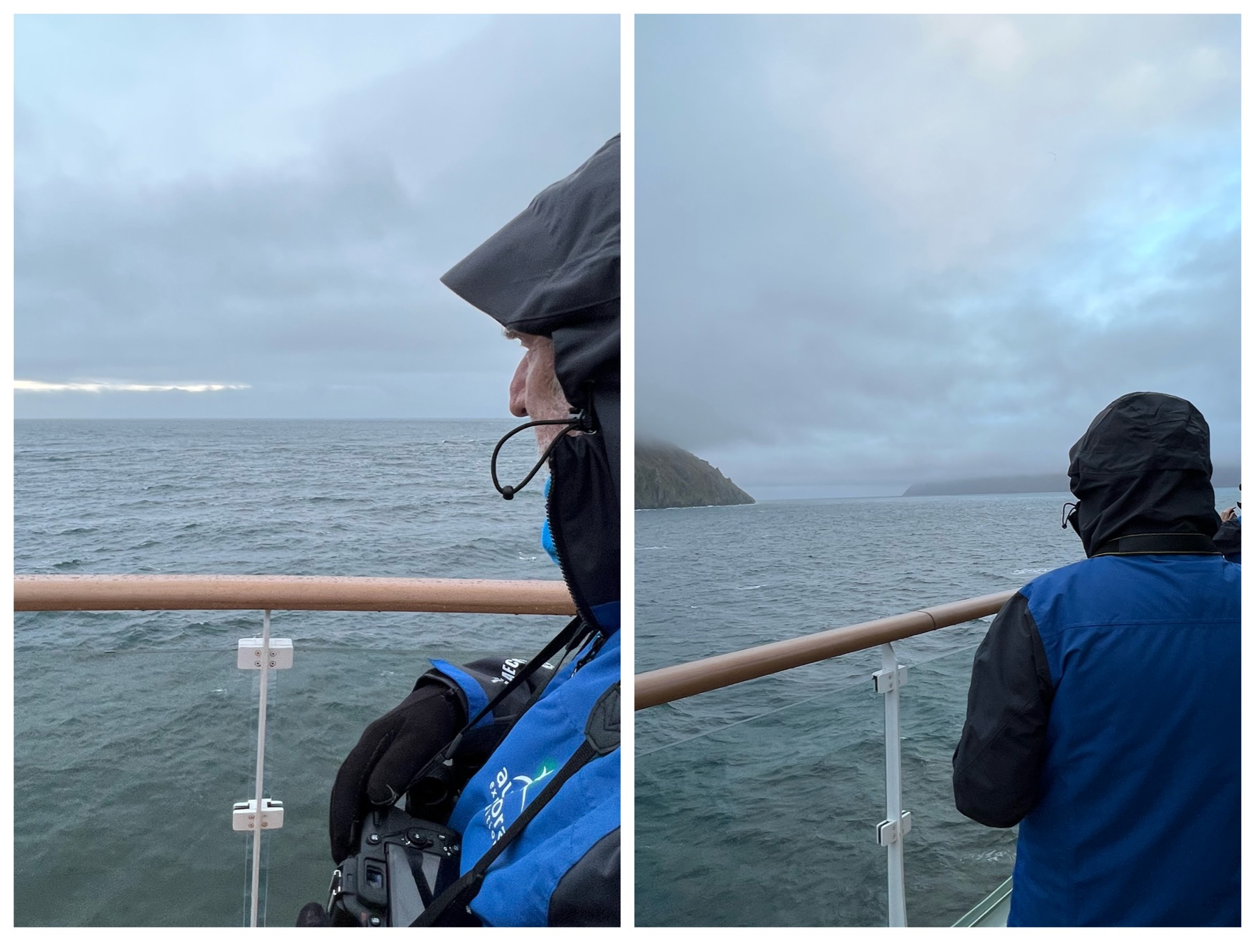
| Lindsay gazing north and south - no he's not Janus! |
 |
| Sailing between many things and along the ‘Ice Curtain’ |
 |
Top: Due north. Nothing between us and the North Pole. Bottom: Due south.
Nothing between here and the South Pole (except for a little bot of Antarctica) |
Before dinner we had a bit of a Citizen Science summary which was marvellous. I don’t have all the numbers, but we didn’t do too bad as amateurs and the five projects we were involved in sent off data to the scientists and data monitors. It was interesting that we were the first passenger ship to trial the app ‘Eyesea’ which helps to identify and locate ocean, coastal, and waterway pollution. There is very little data on what and where marine pollution is so every little contribution makes a difference. We found 16 items and recovered them. Might not sound a lot so that in itself is encouraging. The ‘Secchi Disk’ is also an interesting one. It measures the phytoplankton concentration in waters. This is extremely important as the phytoplankton produce about 50% of the world’s oxygen and also underpins the marine food web but concentrations seem to have reduced 40%. We managed readings at depths of 1 to 10.6m. And then there was ‘Happy Whale’ program which tracks the presence and movement of individual whales in the oceans of the entire world, plus the ‘Globe Cloud’ and ‘eBird’ surveys.
 |
| Our Citizen Science projects |
We ended our day with stunning skies and the promise of Aurora Borealis making an appearance.


No comments:
Post a Comment